WeatherTop story
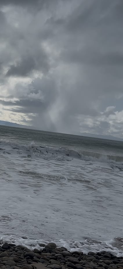
Three storms are rolling through Ventura County, with 7- to 12-foot surf on the coast
Three storm waves roll through Southern California into Wednesday
- Nov. 12First round of scattered showers and thunderstorms begins Thursday night.
- Nov. 13Second rain band moves in Friday night and runs through Saturday morning.
- Nov. 14Rain is forecast to dry out by afternoon as waves peak at 7 to 12 feet.
- Nov. 15Sunday is a lull, and a third system is projected to arrive that night.
- Nov. 17High Surf Advisory is set to end at 3 p.m.
- Nov. 18Two cold fronts are forecast through Wednesday, bringing renewed rain and cooler temperatures.
Sources: The Korea Daily, FOX 11 Los Angeles, CBS Los Angeles
If you're out and about this weekend, bring a jacket and patience. The first of three storms brought thunder and heavy rain from Thursday night into Friday morning to parts of Los Angeles, Orange and Ventura counties, and a flood advisory covered parts of Ventura County until 7:15 a.m. Friday. The National Weather Service expects this “Storm Train” to keep rolling through Wednesday, Nov. 18.
The coast is the bigger worry. A High Surf Advisory runs through 3 p.m. Tuesday, and officials warn of rip currents, sneaker waves and flooding on low-lying walkways, parking lots and coastal roads.
Waves are forecast to peak Saturday at 7 to 12 feet
| Day | Wave height |
|---|---|
| Fri., Nov. 13 | 4 to 7 feet |
| Sat., Nov. 14 | 7 to 12 feet |
| Sun., Nov. 15 to Tue., Nov. 17 | 6 to 9 feet |
Source: FOX 11 Los Angeles
- Rain: .25 to .75 inch for most areas through Saturday morning
- Highest totals: isolated spots up to 1 inch
- Channel swell: 8 feet at 14 seconds on Saturday
- Morning high tides: 7.0 to 7.4 feet
If you surf, we'd think twice after the rain: poor water quality raises the risk of illness and infection. And if the Weather Service website acts up, its Los Angeles/Oxnard office kept issuing forecasts during a nationwide communications outage Friday.